Category:Maps of the history of South Asia
Jump to navigation
Jump to search
Subcategories
This category has the following 18 subcategories, out of 18 total.
B
C
- Maps of the Chola Empire (39 F)
G
- Maps of the Ghurid Empire (11 F)
- Maps of the Gupta Empire (51 F)
I
- Maps of the Indo-Greek Kingdom (31 F)
M
- Maps of the Mauryan Empire (82 F)
P
- Maps of the Pala Empire (7 F)
S
- Maps of the Silk Road (54 F)
Media in category "Maps of the history of South Asia"
The following 56 files are in this category, out of 56 total.
-
Asia 600ad 2.jpg 1,984 × 1,276; 963 KB
-
Asia 323bc.jpg 2,040 × 1,169; 733 KB
-
Chamagudao (no names).png 1,183 × 869; 1.77 MB
-
Chamagudao.png 1,183 × 869; 1.74 MB
-
Comptoirsinde.png 1,520 × 934; 568 KB
-
EpicIndia.jpg 1,002 × 1,176; 536 KB
-
European settlements in India from 1498-1739.PNG 1,140 × 700; 175 KB
-
Gupta Empire 320 - 600 ad.PNG 503 × 703; 24 KB
-
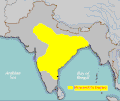
Harshabysumchung.jpg 435 × 358; 9 KB
-
Hinduism Expansion in Asia de.svg 1,060 × 791; 845 KB
-
Hinduism Expansion in Asia-es.svg 512 × 382; 1.28 MB
-
Hinduism Expansion in Asia-hu.svg 512 × 382; 824 KB
-
Hinduism Expansion in Asia-id.svg 512 × 382; 779 KB
-
Hinduism Expansion in Asia-pt.svg 512 × 382; 826 KB
-
Hinduism Expansion in Asia-zh-hans.svg 512 × 382; 779 KB
-
Hinduism Expansion in Asia.svg 512 × 382; 769 KB
-
IE3500BPde.png 370 × 169; 43 KB
-
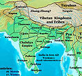
India 600ad v1.jpg 597 × 558; 141 KB
-
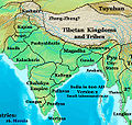
India 600ad v2.jpg 570 × 541; 142 KB
-
India, 1950 no labels, Divisions of India and Pakistan, 1950.svg 4,802 × 5,433; 572 KB
-
Indo-Roman trade.jpg 2,499 × 1,413; 967 KB
-
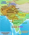
Indo-ScythiansMap.jpg 1,804 × 2,160; 628 KB
-
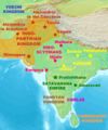
IndoParthianMap.jpg 1,196 × 1,440; 276 KB
-
Kalinga sea routes.svg 749 × 453; 852 KB
-
Kamarupa 7th-8th Century AD.jpg 960 × 720; 485 KB
-
Kamarupa 7th-8th Century Cities.jpg 960 × 720; 493 KB
-
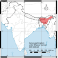
Kamarupa Kingdom of Bhaskar Varman.png 1,393 × 1,393; 425 KB
-
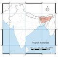
Kamarupa map (cropped).png 842 × 665; 168 KB
-
Kamarupa map.png 2,550 × 2,539; 777 KB
-
Kharavela-Kingdom.GIF 400 × 337; 11 KB
-
LanguageMap-AndhrulaCharitramuPart1-p327.png 566 × 769; 265 KB
-
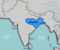
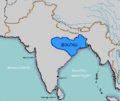
Magadha.GIF 400 × 337; 10 KB
-
Magadha.gif 400 × 337; 11 KB
-
Map of medieval India.jpg 3,060 × 3,060; 1.87 MB
-
Map of the Shashankas.png 2,324 × 2,151; 6.98 MB
-
Mapa Kalingy.PNG 1,565 × 1,666; 960 KB
-
Maurya empire in 265 BCE.jpg 656 × 543; 139 KB
-
Portugal Império total.png 1,425 × 625; 29 KB
-
Portuguese India 16-17th centuries.png 836 × 900; 370 KB
-
Portuguese India.png 328 × 323; 39 KB
-
Premongol.png 752 × 590; 31 KB
-
PremongolEurasia-ar.png 752 × 590; 60 KB
-
PremongolEurasia.png 752 × 590; 31 KB
-
Rivers, lakes, and boundries of the Indo-Parthian kingdom-pt.svg 693 × 834; 757 KB
-
Route to India by John Rapkin 1845 G NS 018.jpg 3,232 × 4,432; 3.13 MB
-
Sunga Empire hu ie185.png 2,250 × 2,101; 6.19 MB
-
SungaEmpireMap.jpg 1,202 × 1,440; 322 KB
-
TA-YUAN.gif 469 × 270; 24 KB
-
Tea-Horse-Road 2.png 800 × 588; 1.16 MB
-
Tea-Horse-Road.png 1,183 × 869; 1.73 MB
-
Tee-Pferde-Straße.png 1,183 × 869; 1.73 MB
-
Transasia trade routes 1stC CE gr2 macrobia label corrected.png 800 × 480; 218 KB
-
Transasia trade routes 1stC CE gr2.png 800 × 480; 218 KB
-
William Baffin - Northern India; Mughal Empire - 1625.jpg 4,493 × 3,313; 7.8 MB
-
WKshatrapas.jpg 1,121 × 1,440; 309 KB
-
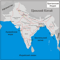
Британская Индия.png 1,975 × 1,960; 583 KB


.png)







.png)
